Give Back to the River You Love - 2013 Button Campaign from Deschutes River on Vimeo.
As a student and full-time worker, I am often pulled in a number of conflicting directions. Life roles are often purely dichotomous, with little overlap. When situations are like this, stress creeps up to the forefront and often becomes a significant issue. Sometimes..just sometimes my roles (student, Benefits professional, and whitewater enthusiast) overlap in ways that I just never anticipated.
Work & Play Intersection
As part of a project for Oregon State University's GEO 335 course, I did some research into the Deschutes basin. This was fortuitous because I had already planned to do a multiday rafting trip on the Deschutes, before the class had even begun. This overlap was a welcome addition to my summer, it allowed me more room to excel at both of my goals; get an "A" in a required class - and have a fulfilling summer vacation; and exciting proposition for me. Especially since my summers have been very busy for the last few years.
Riviere aux Chutes
The Deschutes River and its related basin are a fixture in the hearts and minds of native Oregonians. As one of the major tributaries to the mighty Columbia, few other rivers have as much socio-economic import than the Deschutes. Early french trappers called the river Riviere aux Chutes - or river of falls which was apt because the river had a gradient over its length that supported a great many falls and rapids. The river was wild and unpredictable flooding the area each year during spring runoff and precipitation events.

Life flourished on the banks of the river and there is evidence of populations on the Deschutes at least 9000 years ago. Petroglyphs and early native camps can still be seen on reaches of the river today. These people flourished for generations until about 7000 years ago when mount Mezama (current day Crater Lake) and mount Newberry began erupting on a frequent basis, burying much of central Oregon under a 10 foot blanket of ash. Forcing people to make the difficult crossing to the western part of the State - over the Cascade mountains. During this time, the Deschutes and related tributaries ran thick with ash and did not support the large diversity of life that we now associate with the river basin.
5000 years ago volcanic activity began to slow, and the Deschutes basin began a return to its productive regime. With this increase in productivity the native people began to return to the central part of the state for the warm climate and returning game. Things would remain good and stable until the early 1800s when early trappers began making contact with the native cultures. This was a harbinger of big changes to come.

With the increase in the economic interest in the Central Oregon plateaus, western migration began in earnest. Manifest Destiny saw rivers as a goldmine of sorts, providing valuable water but also acting as a barrier to movement. This duality would stand as an issue until the early part of the 20th century when manifest destiny took a major leap forward and began the systematic damming of large rivers across the west.
The Deschutes was free flowing until 1922 when the Bureau of Reclamation built a series of dams to provide irrigation for, what was to that point, a parched and arid land.

This irrigated land provided one of the few missing elements for Central Oregon to support larger populations centers, ready availability of water for irrigation and drinking. This combined with the series of navigable reservoirs that created regular flows for recreation opportunities on the river as well as in the reservoirs themselves and its easy to see why the population of Central Oregon grew faster than any other part of the state in the middle part of the 20th century.
Native Inhabitants
The treaties of 1855 (and others in that general time span set forth rules on harvests for fisheries on the Deschutes. These benchmarks, combined with the establishment of the Warm Springs Indian Reservation in the same treaties changed many of the uses of the river, often for the better. The nations on the reservation take seriously their role as stewards of the river and often lead the "charge" to keep rivers well managed.
The new way of thinking
The American line of thinking as it relates to natural resources has undergone significant changes since the early part of the 20th century. Big thinkers like Aldo Leopold and John Weir changed the public's way of thinking about natural places. With this change in mindset came a desire to reserve these wonders for future generations. This noble notion continues today, mitigated by the need to use the water resources for the furtherance of the existing populations. You can see this type of mindset in some of my other posts, especially relating to the "Leave No Trace" ethic. The LNT folks love to quote Aldo Leopold.
The Future of the Deschutes
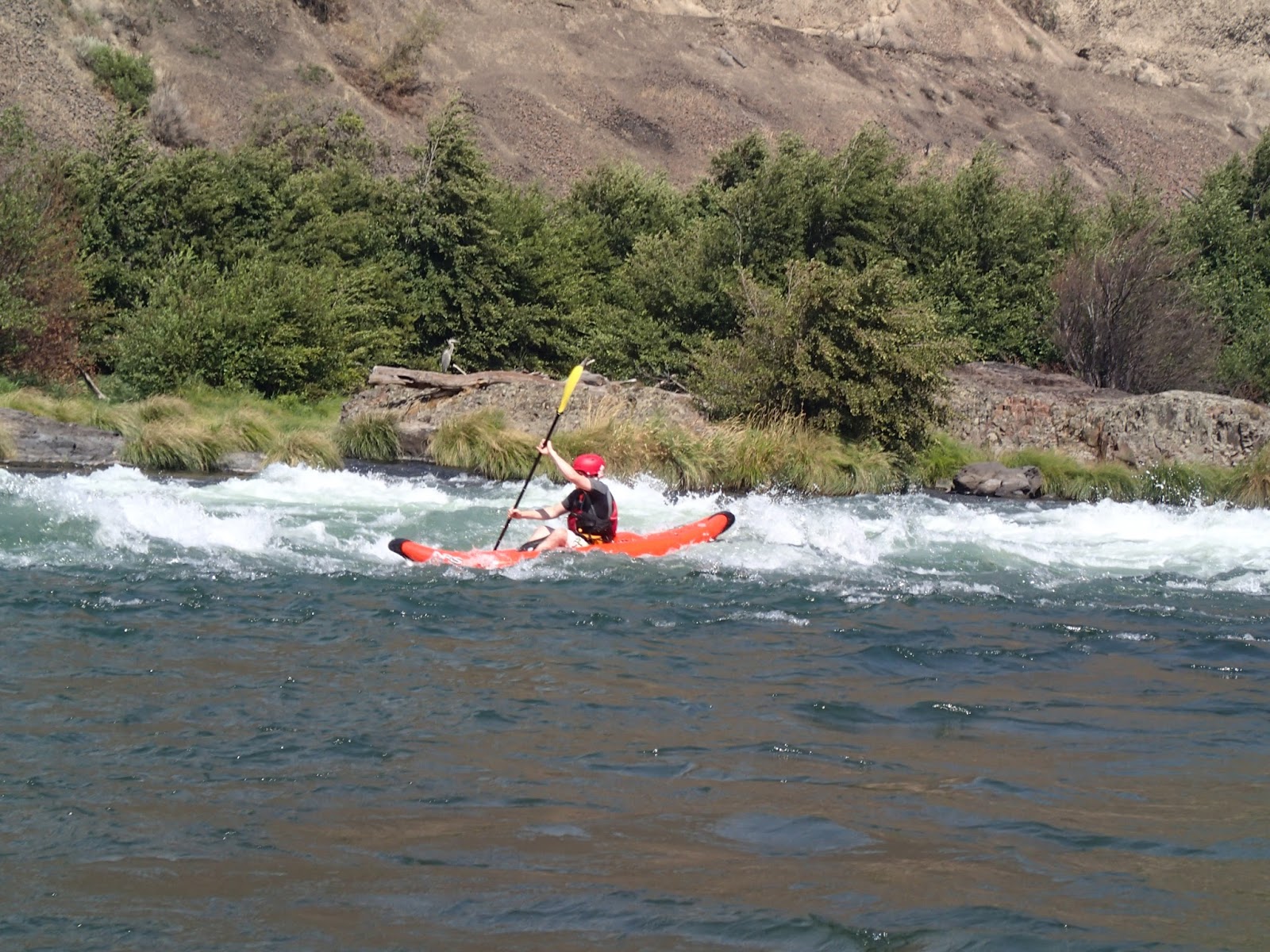
Use of the Deschutes river has never been higher. According to the Prinevill BLM, more than 50,000 people use the Deschutes for recreation during the summer busy season. These are only the users that need to have interaction with the BLM that are measured. Usually those that have to seek a permit or license for their use; such as Rafters, Kayakers, anglers, and campers. Many users go uncounted altogether, such as those that use the trails on either bank of the river, those that day trip to the river to swim and those that come to take photographs.
Use is likely to increase, and with this use comes the challenge of engaging stakeholders to enable the most use, with the least impact. This methodology is exactly why I am in the water science and engineering program at OSU. I feel like having people that care about the watersheds, but that have a solid understanding of the interplay between stakeholders by way of scientific rigor, will lead to the best end result possible.
Here is to making a difference.
No comments:
Post a Comment